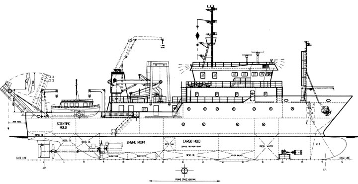
It is a little known fact that the Philippine government operates a fleet of intelligence, research, and oceanography vessels. These ships conduct a variety of inter-related activities that have military applications including oceanographic, geologic, geophysical, geographic and bathymetric surveys as well as Exclusive Economic Zone(EEZ) demarcation, reconnaisance, and intelligence gathering.

| Ship Name | Agency | Length (meters) | Width (meters) | Displacement (tons) | Speed (knots) | Year built | Equipment |
| Arinya | Coast & Geodetic Survey | --- | --- | 245 | --- | 1962 | --- |
| Alunya | Coast & Geodetic Survey | --- | --- | 245 | --- | 1964 | --- |
| Researcher | Bureau of Fisheries & Aquatic Resources | 44.5 | 8.2 | 419 | 9 | 1966 | 38 khz echo sounder |
| Atyimba | Coast & Geodetic Survey | 49.1 | 10.1 | 686 | 9 | 1969 | 2 khz echo sounder |
| Sardinella | University of the Philippines, Visayas | 40.2 | 8.8 | 411 | 11 | 1980 | fisheries sonar |
| Explorer | Mines & Geosciences Bureau | 55 | 9.4 | 500 | 12 | 1984 | geological sonar |
| Fort San Antonio | Department of National Defense | --- | --- | --- | --- | 1993 | intelligence equipment |
| Fort Abad | Department of National Defense | --- | --- | --- | --- | 1993 | intelligence equipment |
| Bantay Kalikasan | --- | --- | --- | --- | --- | 1995 | --- |
| DA-BFAR | Bureau of Fisheries & Aquatic Resources | 60 | 12 | 1,156 | 13 | 1999 | --- |
| Presbitero | National Mapping And Resource Information Authority | 52 | --- | 1,170 | --- | 1999 | SeaBeam 2100 Deepwater Multibeam Echosounder |
| Ventura | National Mapping & Resource Information Authority | 52 | --- | 1,170 | --- | 1999 | SeaBeam 2100 Deepwater Multibeam Echosounder |

In addition to "BRP Fort San Antonio", and "BRP Fort Abad", the other Philippine government research vessels also carry Philippine Navy crewmen and officers either for ship operation or for guard duties.


NOTES: "BRP Presbitero" photos copyright of Factorias Vulcano and Gonsusa. "M/V DA-BFAR" photos copyright of Tinig Marino and Astilleros Gondan.